File:Remote Michigan.png
Jump to navigation
Jump to search

Size of this preview: 226 × 598 pixels. Other resolution: 294 × 778 pixels.
Original file (294 × 778 pixels, file size: 78 KB, MIME type: image/png)
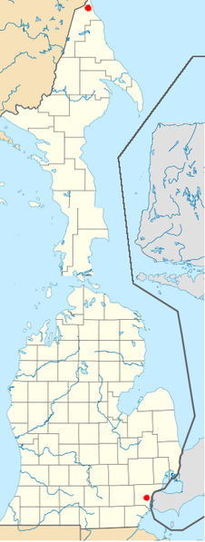
A shooped map of Michigan and its counties, from Wikipedia, with the Upper Peninsula stood on its end.
File history
Click on a date/time to view the file as it appeared at that time.
| Date/Time | Thumbnail | Dimensions | User | Comment | |
|---|---|---|---|---|---|
| current | 02:46, 15 December 2010 | 294 × 778 (78 KB) | Spike (talk | contribs) | A shooped map of Michigan and its counties, from Wikipedia, with the Upper Peninsula stood on its end |
You cannot overwrite this file.
File usage
The following page uses this file: