File:Uncyclopedia Republic of Ireland.png
Jump to navigation
Jump to search


Size of this preview: 480 × 600 pixels. Other resolutions: 384 × 480 pixels | 800 × 1,000 pixels.
Original file (800 × 1,000 pixels, file size: 135 KB, MIME type: image/png)
Summary[edit]
Part of the Irish Political Maps series.

|

|

|

|

|

|

|

|
Licensing:[edit]

|
This work is licensed under a Creative Commons Attribution-NonCommercial-ShareAlike 3.0 License. |
| You're welcome to have your way with it, but only under those terms. Have a nice day. | |
| CC-BY-NC-SA | |
File history
Click on a date/time to view the file as it appeared at that time.
| Date/Time | Thumbnail | Dimensions | User | Comment | |
|---|---|---|---|---|---|
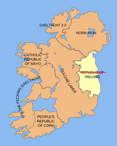
| current | 10:45, 18 April 2010 | | 800 × 1,000 (135 KB) | Aineolach (talk | contribs) | Changing the map so that my contributions won't impede my sex life. For some reason my wife didn't like being called West British (who would've thought). |
| 09:31, 18 April 2010 | 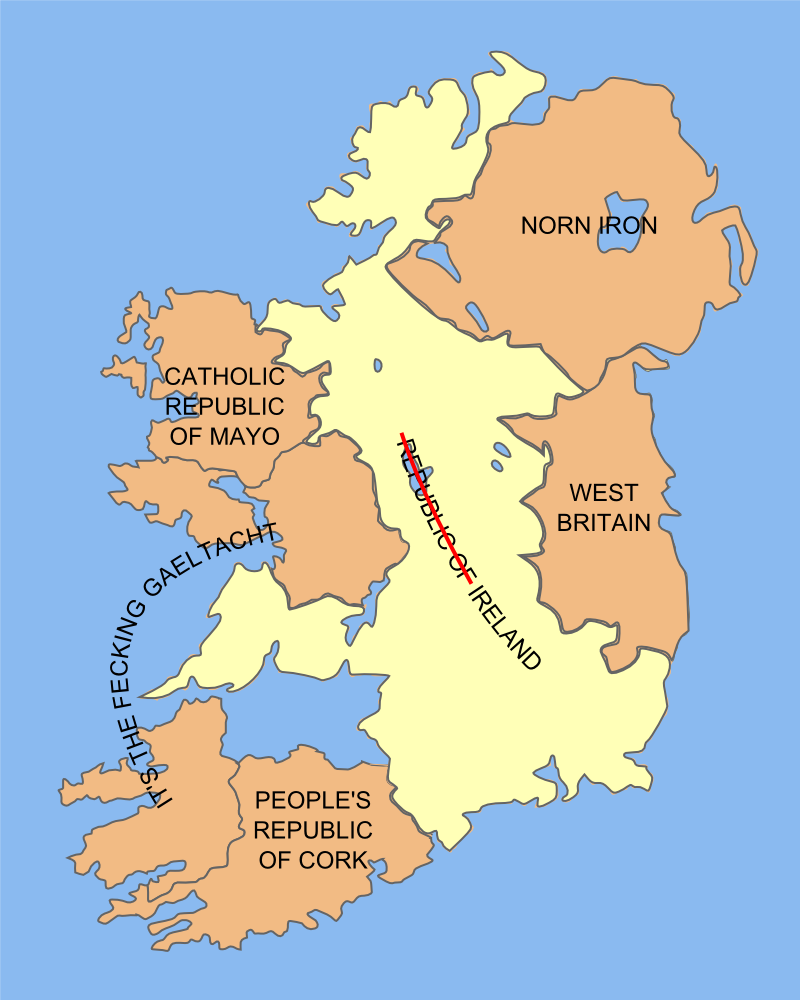 | 800 × 1,000 (189 KB) | Aineolach (talk | contribs) | new political series maps | |
| 15:06, 17 April 2010 |  | 800 × 1,000 (194 KB) | Aineolach (talk | contribs) | Based on [http://commons.wikimedia.org/wiki/File:Ireland_trad_counties_named.svg a wikimedia commons file]. |
You cannot overwrite this file.
File usage
The following 10 pages use this file:
- Republic of Ireland
- User:Aineolach/Images/irish political maps
- File:Political map of Ireland - Culchie Lands.png
- File:Political map of Ireland - Fecking Gaeltacht.png
- File:Political map of Ireland - Gaeltach 2.0.png
- File:Political map of Ireland - Mayo.png
- File:Political map of Ireland - Norn Iron.png
- File:Uncyclopedia Ireland Cork.png
- File:Uncyclopedia Ireland Countries.png
- File:Uncyclopedia Republic of Ireland.png