File:Barrow-in-Furness Map.jpg
Jump to navigation
Jump to search


Size of this preview: 476 × 600 pixels. Other resolutions: 381 × 480 pixels | 1,920 × 2,420 pixels.
Original file (1,920 × 2,420 pixels, file size: 2.37 MB, MIME type: image/jpeg)
Summary[edit]
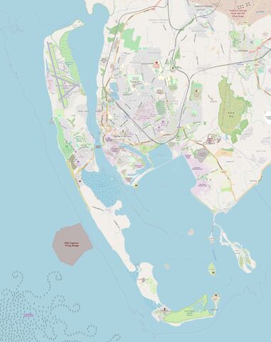
Map of Barrow-in-Furness in June 2019.
Licensing[edit]

|
This work is licensed under a Creative Commons Attribution-NonCommercial-ShareAlike 3.0 License. |
| You're welcome to have your way with it, but only under those terms. Have a nice day. | |
| CC-BY-NC-SA | |
File history
Click on a date/time to view the file as it appeared at that time.
| Date/Time | Thumbnail | Dimensions | User | Comment | |
|---|---|---|---|---|---|
| current | 20:54, 25 April 2019 | | 1,920 × 2,420 (2.37 MB) | Slr876 (talk | contribs) | Map of Barrow-in-Furness in June 2019. |
You cannot overwrite this file.
File usage
There are no pages that use this file.